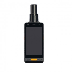
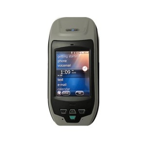
Handheld RTK Receiver U32HA
Short Description:
Applications The U32HA integrates wireless platform, professional GNSS, to facilitate data collection in any environment. Data transfer and download is available via various communication systems. The U32HA adopts industry-leading standard design, suitable for field. widely used in electrical inspection, land management, forestry census, survey, supply chain management and other fields. With advanced technologies, the U32HA facilitates industry information construction. Features The U32HA han...
Applications
The U32HA integrates wireless platform, professional GNSS, to facilitate data collection in any environment.
Data transfer and download is available via various communication systems.
The U32HA adopts industry-leading standard design, suitable for field. widely used in electrical inspection, land management, forestry census, survey, supply chain management and other fields.
With advanced technologies, the U32HA facilitates industry information construction.
Features
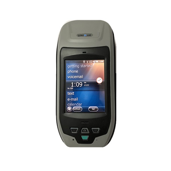
The U32HA handheld RTK receiver adopts Microsoft’s Windows Mobile 6.X operating system,integrating professional GNSS module, camera, 3.5G communication, HD touch screen, Bluetooth and WiFi, RS232 port, to achieve real-time data acquisition and processing without time/space restriction. The U32HA features compact and light, ergonomic design, easy to use and carry,IP65 industrial grade protection, 1.2 meter drop protection, rugged.
It uses Hemisphere P327 board inside. And it has ALTAS function.
Specification
